Geographic map of Bulgaria
Geographic map of Bulgaria Bulgaria is a member state of the European Union located in the eastern half of the
Read more
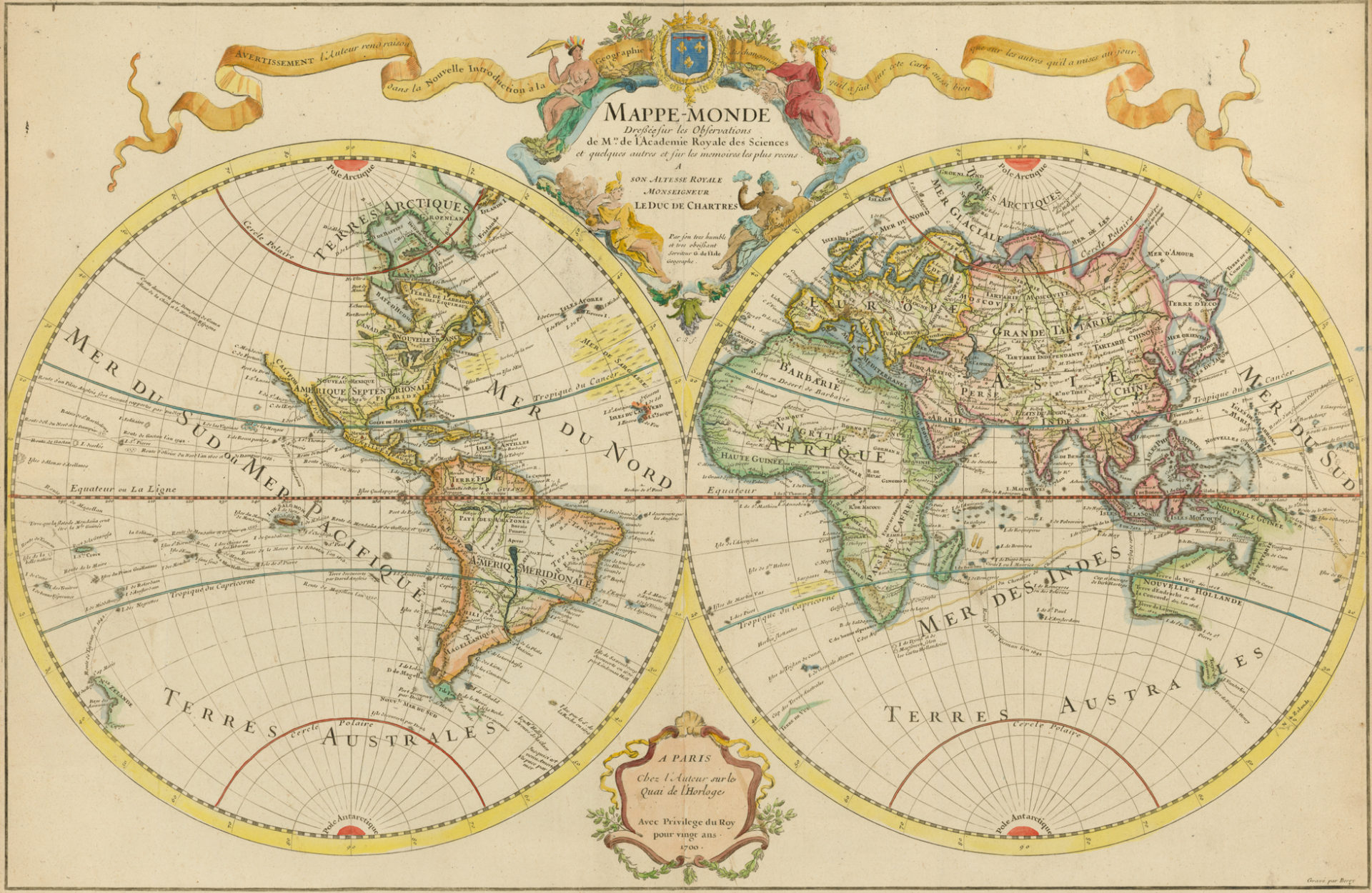 The maps are simplified and symbolic representations of a space of territory that relate components (objects, regions) of that space. A map is a two-dimensional, geometrically accurate representation of a three-dimensional space, such as a map. In general, maps can be used to represent any local property or data and statistics of the world or part of it, or any other space, even mental or conceptual. In ancient Rome, a map was a linen cloth used as a napkin on the patrician tables. It was also called the red cloth with which the bestiaries excited the bull in the circus, as well as the cloth that the emperor or magistrates threw into the arena to start the races. The ancient agronomists called maps (because they are often performed on canvas) each graphic representation of an area of land. From this etymology the modern use of the word is derived.
Guido Bissanti

Geographic map of Bulgaria Bulgaria is a member state of the European Union located in the eastern half of the
Read more
Geographic map of Liberia Liberia is a state in West Africa, bordering Sierra Leone and Guinea to the north and
Read more
Geographic map of Honduras Honduras is a republic in Central America. The country that overlooks the Gulf of Honduras to
Read more
Geographic map of Benin Benin is a West African state, formerly known as Dahomey. It faces the Gulf of Benin
Read more
Geographic map of Malawi Malawi is a state in southeastern Africa bordering Mozambique to the south and east, Tanzania to
Read more
Geographic map of North Korea North Korea is an East Asian state that occupies the northern part of the Korean
Read more
Geographic map of Eritrea Eritrea is a state located in the northern part of the Horn of Africa, bordering Sudan
Read more
Geographic map of Nicaragua Nicaragua is a Central American state, as well as the largest in the region after Mexico,
Read more
Geographic map of Greece Greece is a southern European state, located on the southern edge of the Balkan peninsula. From
Read more
Geographical map of Tajikistan Tajikistan is a Central Asian state that borders Afghanistan to the south, China to the east,
Read more