
Geographic map of Laos
Geographic map of Laos
Laos (ປະ ເທດ ລາວ) is a People’s Democratic Republic and is a landlocked Southeast Asian state.
This country borders China to the north, Vietnam to the east, Cambodia to the south, Thailand to the west and Burma to the north-west.
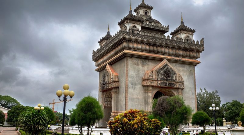
Laos has a population of 7,275,556 (as of 2020). The capital of Laos is Vientiane which has a population of 948,477 inhabitants (as of 2020).
Geography –
Laos occupies the eastern portion of Indochina, elongated in a north-west / south-east direction for a thousand kilometers and essentially between the watershed of the Annamite chain, where it borders to the east with Vietnam, and the middle course of the Mekong River , where it borders Thailand to the west. The country also borders Myanmar to the north-west, China to the north and Cambodia to the south.
This country has no outlet to the sea and is mainly mountainous and has a remarkably articulated physical structure. The northern section, rugged but not impervious, is made up of reliefs that exceed 2000 m in height, southern offshoots of the Chinese mountains of Yunnan. The western strip, west of the Mekong, is formed by paleozoic reliefs considerably softened by erosion (Luang-Prabang mountains). The central section, which culminates in the crystalline massif of Mount Bia (2820 m), which overlooks the plain of Jars to the north, a large lowered area that connects the Mekong basin with the Gulf of Tonkin, is dominated by the Annam chains that slope down slightly up to the course of the Mekong River. The southern part, decidedly more articulated, includes the western offshoots of Annam, with a series of intensely karstified limestone reliefs (Khammouan) and the isolated basalt plateau of the Bolovens. The territory belongs almost entirely to the Mekong catchment area, the only real unifying factor of the country, which flows through it for 1800 km following part of the borders with Myanmar and especially with Thailand. The influence of the southwest monsoon determines a decidedly rainy regime with strong summer floods. The northern section, encased in the mountains, which winds from the Chinese border to Luang-Prabang, is not navigable even if, near the city, it widens up to 400 meters. From Luang-Prabang to Vientiane the course of the Mekong is made bumpy by frequent and very violent rapids and narrow gorges; it becomes more regular and navigable, for more than 500 km, in the downstream stretch, up beyond Savannakhet where its riverbed reaches a width of 2 km. Again rapids and gorges prevent it from navigating up to the Pakxe plain where it starts towards the mouth, still far away, with a majestic proceeding within a wide and branched bed 10 to 12 km wide.

Climate –
Laos has a tropical climate, in which the annual cycle of Asian monsoons determines the alternation of three distinct seasons: the rainy season from June to October, the cool dry season from November to March and the hot dry season from April to May. .
In the dry season the temperatures are very varied: the coldest period is between December and January, when it reaches 15 ° (the coldest moments are the night and the first morning); in the hot period the temperature can reach 40 °. During the rainy season, daytime temperatures average around 29 ° C in the lowlands and 25 ° C in the mountain valleys.
Rainfall (which falls mainly in the monsoon season) also varies according to altitude and is more frequent in southern Laos. In fact, in the Annam chain they reach 3,000mm per year, while in Vientiane 1,500-2,000mm and in the northern provinces only 1,000-1,500mm.
Any time of year could in theory be good for visiting Laos. In practice, however, it should be borne in mind that the climates influenced by the monsoons have periods of rain during which it can be difficult to move and some unexpected events may occur (eg floods of the Mekong and consequent floods). The best period can therefore be considered that between November and December, when the rainy season has just ended, the rivers are rich in water and everything is green and bright.
Flora-
The landscape of Laos is characterized by tropical rainforests of evergreen hardwoods in the north and monsoon mixed forests of evergreen and deciduous trees in the south. In the areas where the monsoon forest develops, the soil is covered with a tall and leathery grass called tranh; the trees are mainly of secondary growth, with an abundance of bamboo, shrubs and wild banana trees. Laos is also home to hundreds of species of orchids and palm trees.
Fauna –
The forests and fields of Laos provide sustenance for a rich fauna, which includes nearly 200 species of mammals, about the same number of reptiles and amphibians, and about 700 varieties of birds. Common mammals include gaur (wild cattle), deer, bears and monkeys. Elephants, rhinos and tigers, as well as some types of wild cattle, monkeys and gibbons, are among the most endangered mammals in the country. Geckos, snakes, skinks and frogs are numerous; some types of turtles are threatened. The canopy and the forest floor are inhabited by countless songbirds, garrulous, woodpeckers and thrushes, as well as a whole host of larger raptors. Numerous water birds live in the lowlands. A few dozen Lao bird species are threatened; these include most hornbills, ibises and storks.
Guido Bissanti