Geographic map of Namibia
Geographic map of Namibia Namibia is a state of southern Africa, whose capital is Windhoek. Namibia north borders with Angola
Read more
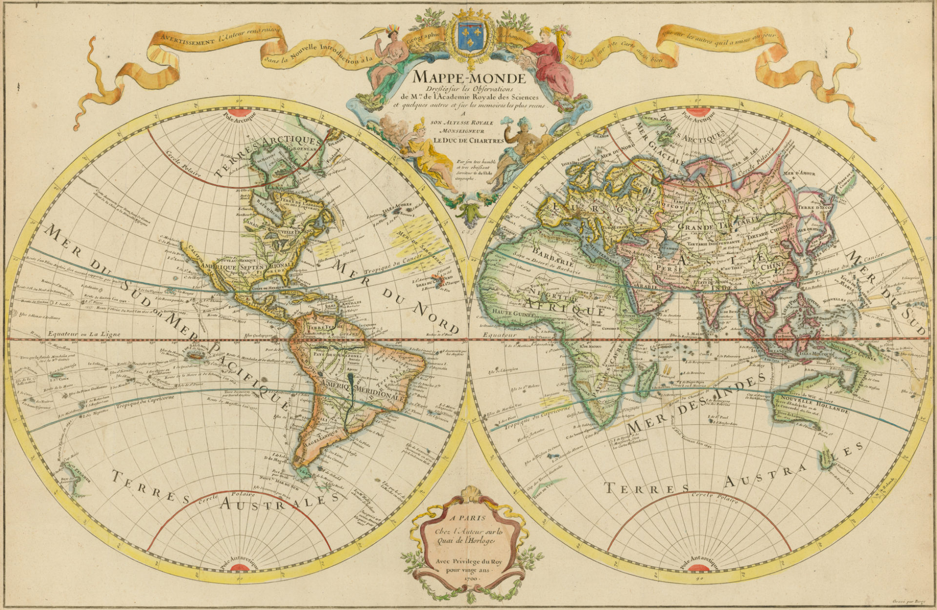
 The maps are simplified and symbolic representations of a space of territory that relate components (objects, regions) of that space. A map is a two-dimensional, geometrically accurate representation of a three-dimensional space, such as a map. In general, maps can be used to represent any local property or data and statistics of the world or part of it, or any other space, even mental or conceptual. In ancient Rome, a map was a linen cloth used as a napkin on the patrician tables. It was also called the red cloth with which the bestiaries excited the bull in the circus, as well as the cloth that the emperor or magistrates threw into the arena to start the races. The ancient agronomists called maps (because they are often performed on canvas) each graphic representation of an area of land. From this etymology the modern use of the word is derived.
Guido Bissanti
Geographic map of Namibia Namibia is a state of southern Africa, whose capital is Windhoek. Namibia north borders with Angola
Read moreGeographic map of Nigeria Nigeria officially: Federal Republic of Nigeria is a West-Central African state and the most populous on
Read moreGeographic map of Tanzania Tanzania is an East African state. This country, more than three times Italy, has an extension
Read moreGeographical map of Turkey Turkey has been since 1923 a republic and a transcontinental state whose territory extends for the
Read moreGeographical map of Egypt Egypt is a transcontinental country that crosses the northeast corner of Africa and the southwest corner
Read moreGeographic map of Mauritania Mauritania (Berber: Cengiṭ or Agawej or Agawec, Arabic: موريتانيا or شنقيط), is a West African state,
Read moreGeographic map of Bolivia Bolivia is a state in South America located in the center of the subcontinent. It is
Read moreGeographical map of Ethiopia Ethiopia which is officially called the Federal Democratic Republic of Ethiopia is an East African state
Read moreGeographic map of Colombia Colombia, whose official name is: Republic of Colombia, is a state located in the northwestern region
Read moreGeographic map of South Africa South Africa or the Republic of South Africa is an independent state that is geographically
Read more