
Geographic map of Brazil
Geographic map of Brazil
Brazil (Federal Republic of Brazil) is a federal republic of South America with an area of 8.516.000 km². For this extension it is the fifth state of the world. Brazil is wet from the Atlantic Ocean to the east, to the north it borders the French overseas department of French Guiana, Suriname, Guyana and Venezuela, to the northwest with Colombia, to the west with Peru and Bolivia, to the south -over with Paraguay and Argentina, and to the south with Uruguay.
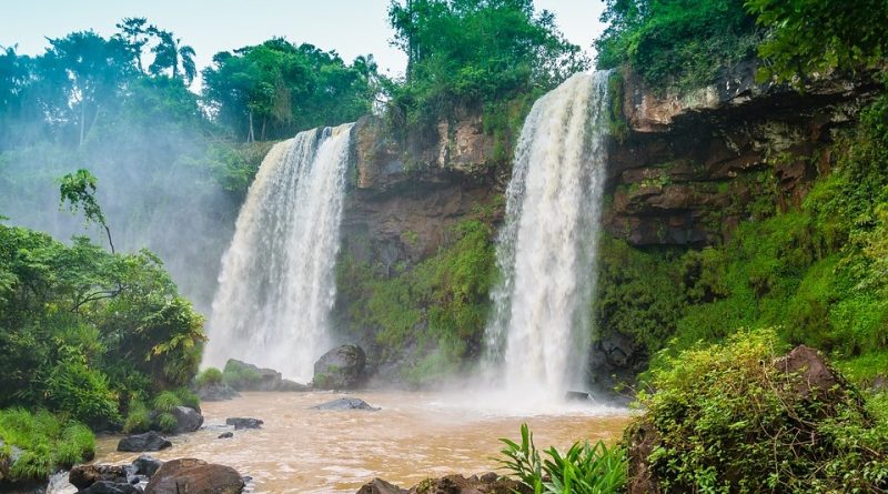
Brazil is found, for the most part, in the tropical zone. Important is the Amazon forest covering 3,600,000 square km²; for this reason Brazil is one of the countries with the highest number of species of animals and plants in the world.

Before the discovery of the Europeans on 22 April 1500, it was inhabited by natives. The discovery is due to a Portuguese expedition led by Pedro Álvares Cabral. After the Treaty of Tordesillas, the Brazilian territory was part of the United Kingdom of Portugal, Brazil and the Algarve, from which it gained independence on 7 September 1822.
Later, Brazil became an empire and later became a republic. His first capital was Salvador, which was replaced by Rio de Janeiro until a new capital was established, Brasilia.
4.0% of the Brazilian territory is protected and the country hosts various ecosystems, such as the Amazon, the Atlantic Forest Reservoir (Mata Atlantica) and the Cerrado; Brazil is one of the 17 megadiverse countries on the planet due to the remarkable biodiversity of its territories.